
The study area encompasses the transboundary watershed of Lake Kivu and the Ruzizi/Rusizi River up to its mouth at Lake Tanganyika. It is located in the ABAKIR intervention zone, and includes regions of Burundi, the DRC and Rwanda. In these countries, the availability of certain data as well as their quality and precision are not always equivalent. In order to harmonize data across the basin for the purposes of this study, available and accessible field data as well as global data were combined. The total area of the study area is 13,449 km2, of which 2706 km2 (20.2%) belongs to Burundi, 6227 km2 (46.5%) to the DRC and 4452 km2 (33.3%) in Rwanda. Taking into account the surface area of Lake Kivu (2,412 km2), the land area of the study area is 10,973 km2.
The Lake Kivu basin is shared only between the DRC and Rwanda. Administratively, the three countries are divided into provinces. The study area includes eight provinces: Cibitoke, Bubanza, Kayanza and Bujumbura rural in Burundi; North Kivu and South Kivu in the DRC; and west and south in Rwanda (see Figure 1).
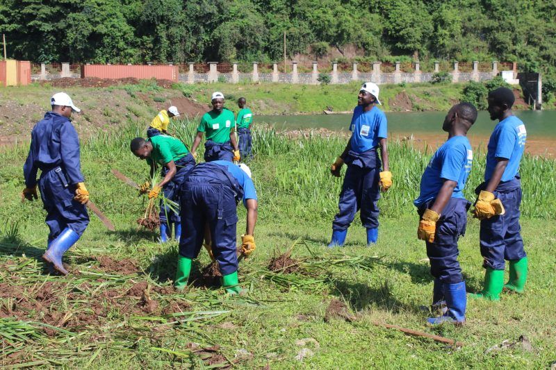
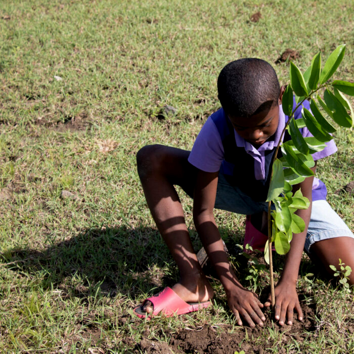
We ask for the support of everyone for the realization of the said project; to sequester the danger of gases and prepared for better degassing
Seen
Like
Comments
Fans
Thanks M | 01, Jan 1970
Thanks M | 01, Jan 1970
Thanks M | 01, Jan 1970
Thanks M | 01, Jan 1970